
Your maps,
mapped.
See your map collection light up across the British Isles.
Keep track of your Ordnance Survey and Harvey maps, from Landranger and Explorer to Superwalker and anything else that uses the OS grid.
- Paper maps
- Digital maps
- Map not listed? Add it using grid references
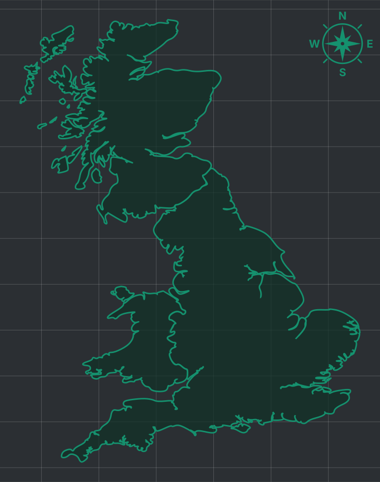
maps in the starting list
maps still need coordinates
overall completion
Own one of the unmapped maps? Contribute its corner coordinates and make it clickable for everyone.
Maps at this location
My collection
Add maps
Choose a series, then search by map number or name. You can select multiple maps before adding them.
One map per line. Optionally prefix the series: Landranger 41, Explorer OL7, Superwalker Ben Nevis
Columns: series, number, paper, digital, year, e.g. landranger,41,true,false,2019
Got a one-off or custom-made map?
Add it as a personal map - only you can see it.
Contribute map outlines
Most maps don't have their coverage mapped yet. Pick one you own and copy the grid references from its corners. That's what makes the clickable map work for everyone.
You need a free account to contribute.
My personal maps
A one-off or custom-made map only you can see.
My submissions
Help
What is MyPaperMaps?
A free logbook for your printed and digital maps of the British Isles. Anything that uses the Ordnance Survey grid can be tracked: OS Landranger and Explorer, Harvey Superwalker, Ultramap, trail maps and more. Sign up, select the maps you own, and watch your coverage grow on the map.
Adding maps you own
- Click the map – click anywhere in Britain and we'll tell you which maps cover that spot, then select the map type you are adding: paper or digital.
- Type numbers – go to Add maps, pick a series and enter map numbers like
1, 25orOL7. - Import – paste a list or upload a CSV with the columns
series,number,paper,digitalandyear.
Why can't I click some areas of the map?
Maps only become clickable once someone has contributed their coordinates. The catalogue lists every map, but the outlines are crowdsourced. You can still add any map by number, and if you own the paper copy, please add its coordinates using the Contribute page.
Reading grid references off a map
Every OS-grid map shows two-letter grid squares (like ST or NN) and numbered eastings/northings along the edges. For the top-left corner read the letters, then the easting (vertical line) and northing (horizontal line): e.g. ST 53 82. Do the same for the bottom-right corner. Double-sided and odd-shaped maps are supported – select the matching option.
If a corner sits exactly on the edge of a 100 km lettered square, the map margin shows the full figure (such as 300000m) instead of a two-figure number – that line belongs to the next square, so use its letters: the 300000m easting line beside SS is ST 00, and a map spanning it runs, say, SS 80 30 to ST 00 07.
My map isn't in the catalogue
On the Contribute page choose “My map isn't in the list” and send a missing-map report with the brand, series and name. Once it's approved you'll be able to log it and add its outline. Only maps using the OS / British National Grid system can be added.
Paper vs digital copies
Newer OS maps include a digital download. Track both independently – a map can be paper-only, digital-only or both, and you can record the edition year.
Map data and attribution
The place names on the Map page (the Show place names option) come from Ordnance Survey's OS Open Names, positioned by their British National Grid coordinates. Every OS-recorded settlement in Great Britain is included – cities and the largest towns at the fitted view, then towns, villages, hamlets and the named localities inside towns as you zoom in – using the OS classification of each place, the same way everywhere in England, Scotland and Wales.
Contains OS data © Crown copyright and database right 2026. OS Open Names is released under the Open Government Licence v3.0.
Support the site
MyPaperMaps is a hobby project. If you find it useful, you can support the hosting costs or my penchant for real ale by using the buy me a beer link in the footer.
When retailer links are shown on the map, each one carries this label:
Ad – affiliate link. MyPaperMaps earns a commission if you buy, at no extra cost to you.
Account settings
Loading your account settings…
Admin review
Map reports
Users
Map catalogue
Holding page
Status: checking…
Holding mode replaces the whole public site with a holding page. Verified administrators always keep access; everyone else needs an access pass.
Access passes
Copy this access code now. It is shown once and cannot be recovered. If it is lost, revoke the pass and create another.
Site settings
Affiliate retailer links
Status: checking…
While this is on, a map's details can show a link to a retailer, always beside a visible commission disclosure. While it is off, no retailer link is sent to a browser at all - the switch is enforced server-side, not by hiding anything in the page.
Map wheel zoom
While someone zooms with the mouse wheel, the zoom stays anchored on the point where the gesture started. This is how far the pointer may drift (in pixels) before the zoom re-anchors under its new position. 0 re-anchors on any movement; larger values hold the anchor steadier. Whole number between 0 and 200; the default is 40.
Maximum map zoom
The furthest anyone can zoom IN on the map, as a multiplier on the basemap's own scale: 1× shows the whole of Great Britain about 817 pixels wide (roughly 857 m per pixel), so 60× is roughly 14 m per pixel. Whole number between 2 and 500; the default is 60.
The furthest anyone can zoom OUT is not set here. That is always the Reset (fit-to-window) level, calculated from each visitor's own map window, so nobody can zoom out past seeing the whole map.
Review map
Outlines awaiting review, drawn exactly as contributed. Select one to accept, dispute or reject it here, or open it in the review queue.